
This was my first time cross-country skiing, not counting a brief attempt by an ex-girlfriend to teach me. It seems as more often than not snow in Minnesota is not conducive for cross-country skiing. The wind blows the powder away leaving an icy crust.
Joyce's son had skis and boots I could borrow and they fit me perfectly. In the beginning I had a problem with one boot that kept slipping out of the ski. I then learned there is a right ski and a left ski. I switched skis. Still the 'problem' boot kept slipping from the ski. Finally I angled and jammed the boot and was able to get the boot to go over the three small pins before I clipped the ski onto the boot. My skis never slipped off again.
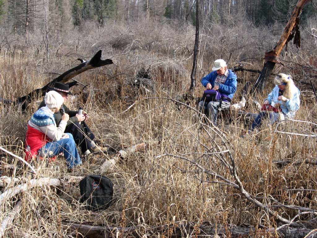
After a long absence from our hikes, Gary joined us today for skiing. So our group was: Gary, Joyce, Bill, Sue Ann and I.
We started out at 10:45 am and got back to Gary's truck at 4 pm. We skied 13 miles. Not bad for my first time.
For everyone but Sue Ann this was their first ski outing of the year. We decided to ski on the Going-to-the-Sun road in Glacier as it is relatively level. On skis I learned the road is not as flat as I thought it was when driving in a car.
We parked at the Lake MacDonald lodge parking lot where the Sun Road was gated shut. We skied to the Avalanche Creek / Trail of the Cedars area 6 miles up the road. This is the same area we hiked to when we checked out the flood damage November 10. This time we returned via the road and did not take the trail like we did when hiking.
 One other car was in the parking lot when we arrived. As we skied we noticed a lone, skinny tire, bicycle track in the snow. One track. Whoever rode on the road hadn't returned. This guy did finally return as we were loading the skis back into the truck at the end of the day. He come riding up the road on a 25+ year Italian bicycle. A Fiorelli. It was so old it had the friction shifters on the down tube. The bicycle looked well for being so old.
"Not a terribly great frame but there is one thing going for these - Fausto Coppi rode some Fiorelli bikes.As the 40 to 50 year old bicyclist rode he pulled a snowboard behind. It was attached to one of those retractable dog leashes so that when he rode downhill, and the board was catching up to him, the leash would retract and not get tangled in his bicycle.
Aside from the funky factor, these frames are not terribly sought after. Figure price to be based mostly on parts value. In the early to mid 80's Fiorelli bikes in the U.S had nifty cut-outs, fun bright paint, and descent workmanship. For these bikes in full Nouvo Record (the classic Campagnolo parts group of the '70s and early '80s. Some of the parts in this group, particularly the derailers, were different from the previous "Record" group; others were the same.) figure perhaps $600."
The bicyclist said he rode until the Sun Road got steeper before the Loop area. He left his bicycle then hiked a few more miles on the road and got above the Loop before coming back down on his snowboard. It was a long way to go - at least 10 miles - to snowboard but the scenery along the way was gorgeous.
Before we started skiing we all ate the pumpkin muffins I had baked for the group. Bill didn't realize I was bringing muffins and he brought a pound cake his wife had baked. We ate his cake when we returned back to the truck after skiing. With this group we eat good! Bill's cake was delicious!! Everyone brings home baked food to share with the group.
In the beginning having skis on my feet felt odd. I also concentrated on not falling and to keep moving along to keep up with the group. I skied in the back as I told them I didn't want them to get too distracted laughing at my skiing form.
As time went on I improved. I surprised myself at how well I was doing by the end. In the end I was skiing in the front, and Gary and I got back to his truck well before the others. Joyce commented that she thought I had a good skiing gait.
Gary likes to climb mountains and we made plans to climb Mt. Reynolds and some other mountains next summer, including Mt. Thoma which I have this obsession to climb. Hiking, skiing, climbing... I need to remember I have fences to rebuild and paint next year.
Although we never saw anyone else other than the bicyclist, we did see old ski tracks in the snow. We weren't the first to ski on this road. The ski tracks went past the Avalanche Gorge and on the trail to Avalanche Lake. We didn't take that trail as our 13 miles was plenty long for our first ski outing of the year.
Sue Ann and Gary took the short steep trail down to look at the horse bridge the flood water has wrecked in November. On the way down Sue Ann hit a snow covered log and crashed. She got snow in her hair. The rest of us decided not to ski down to look at the bridge. We all saw it last month after the flood waters receded.
I dressed warmed as the temperature was in the low to mid 20s with no change predicted all day. It turned out I over dressed as my exertion worked up a sweat. Soon I had my coats unbuttoned and unzipped, and my hat and gloves off. And I was still warm. Guess I didn't need the long underwear!
Other than a faint breeze when we returned, there was no wind. It was a perfect day for skiing as everyone was very happy to be outside skiing. To think, in the old days in Minnesota I would be sitting inside a large building on a Monday in a windowless office. Now I ski in the snow covered mountains on a winter Monday. Life is great now!
I had a fantastic time skiing!! I can't wait to do it again.
Now lots of photos...
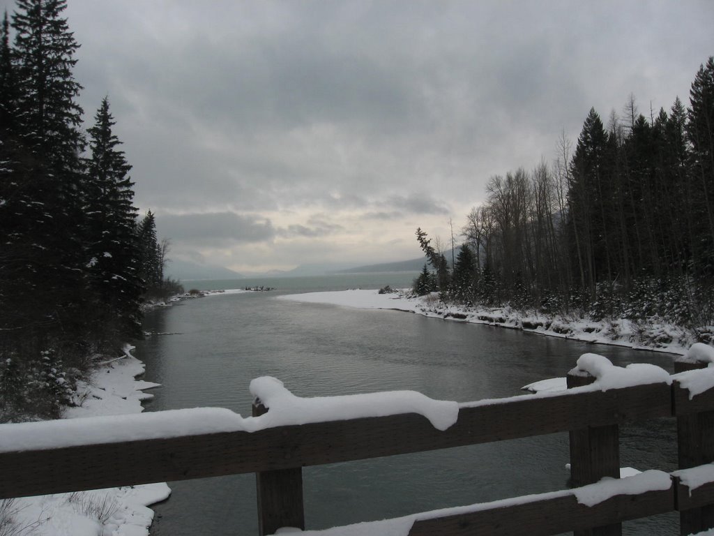
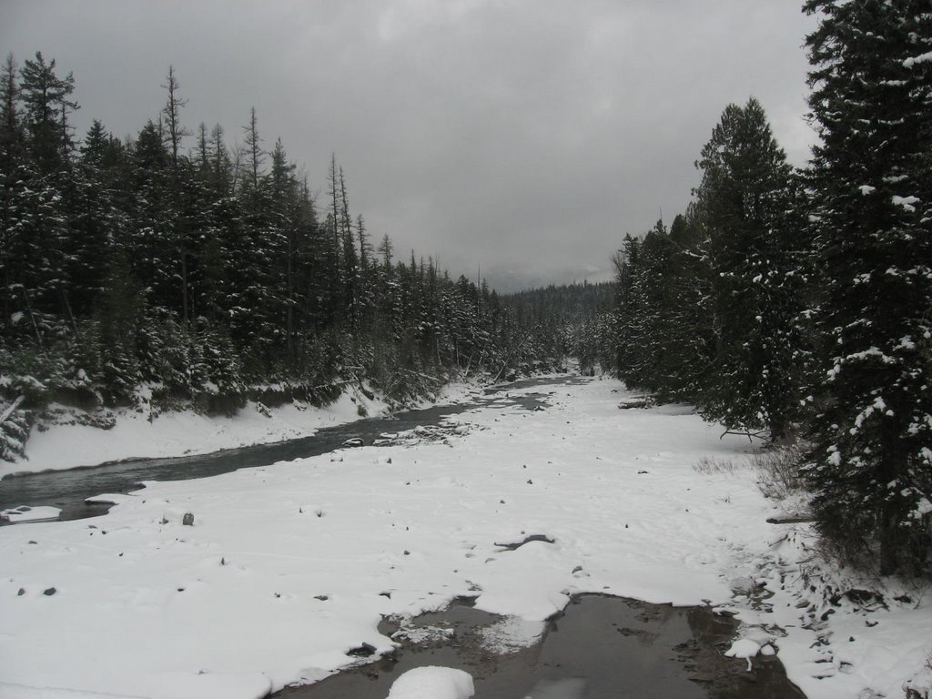
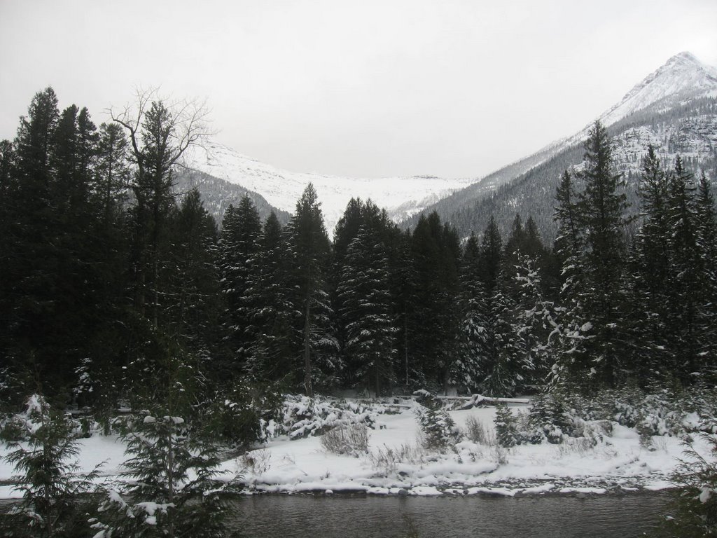
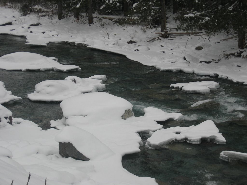
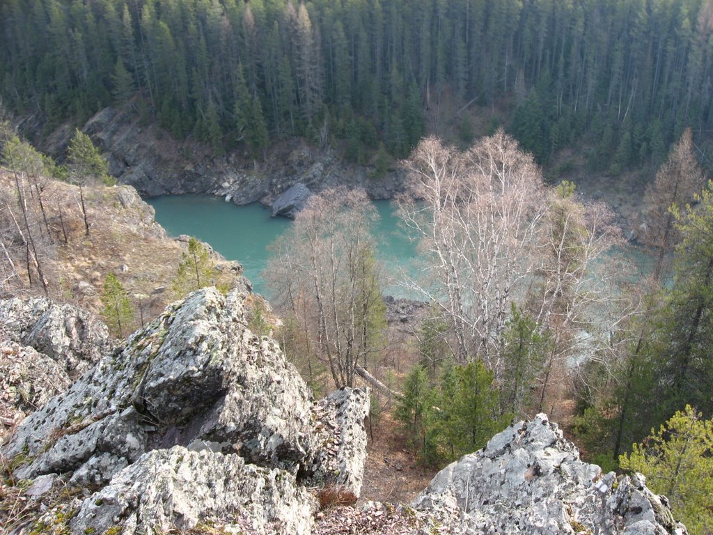
MacDonald Creek. To the south is where the creek enters Lake MacDonald. The second view is to the north.

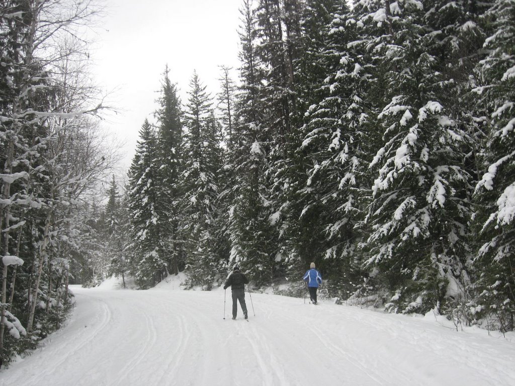
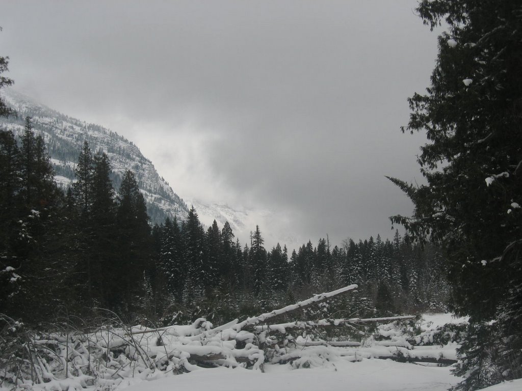
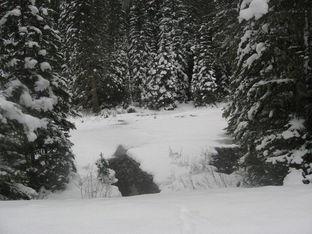
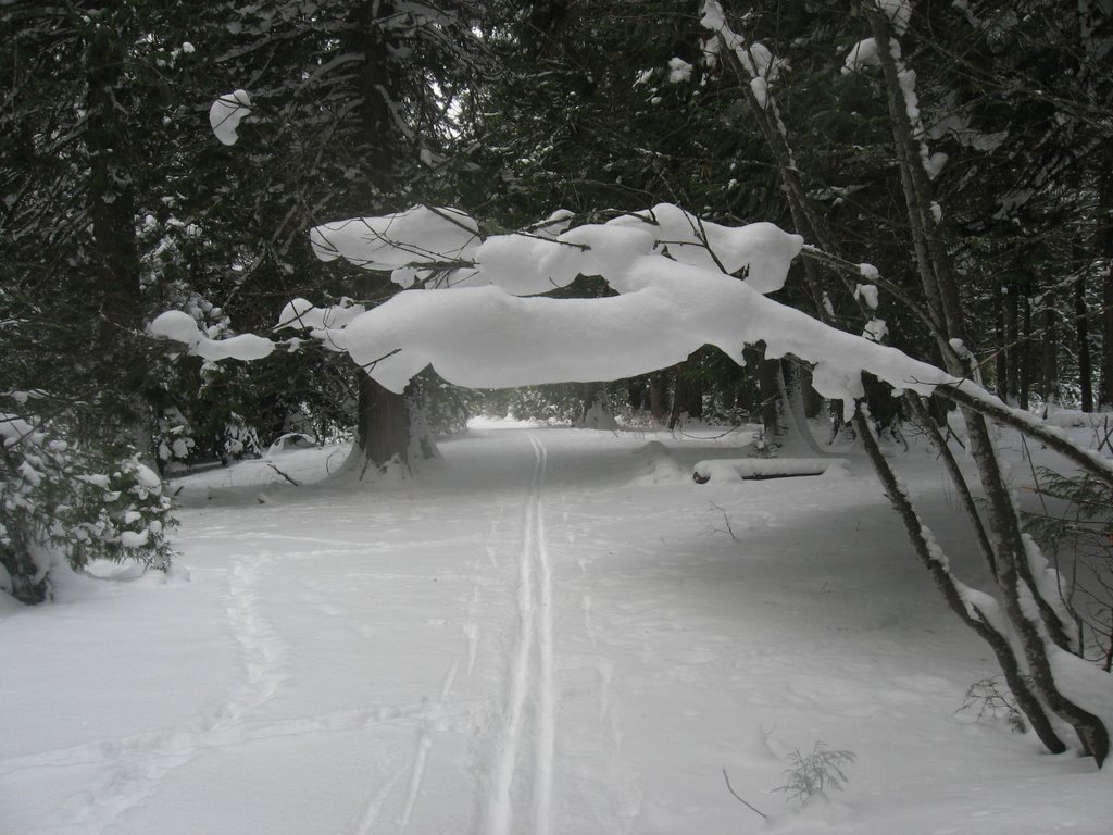
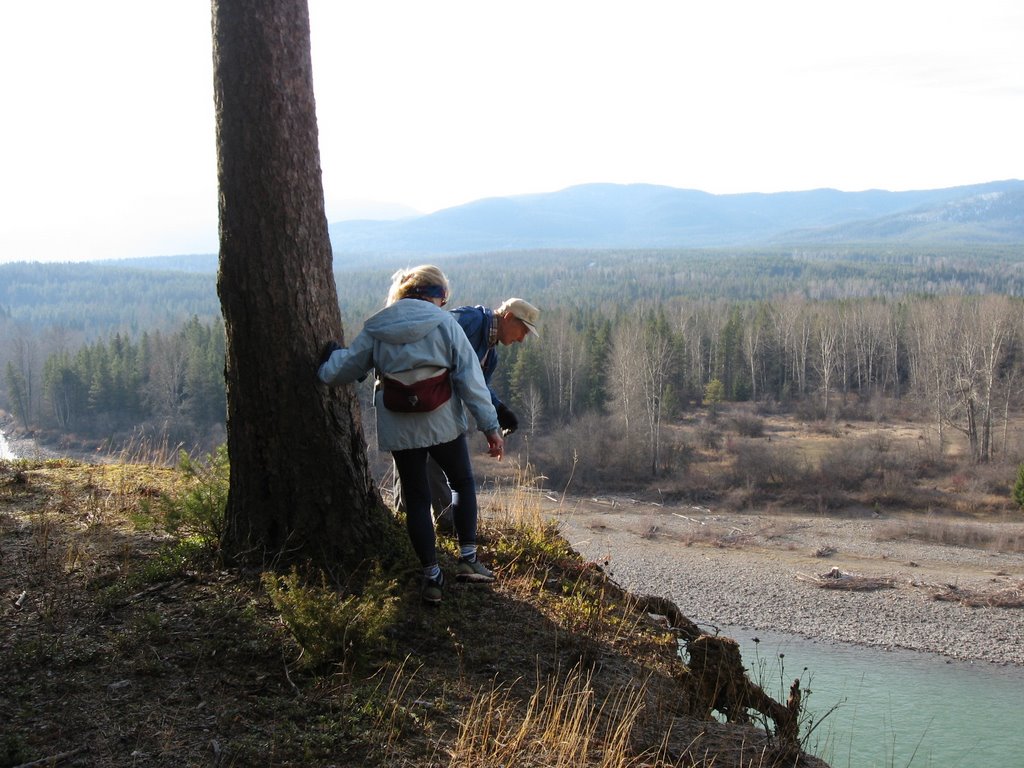
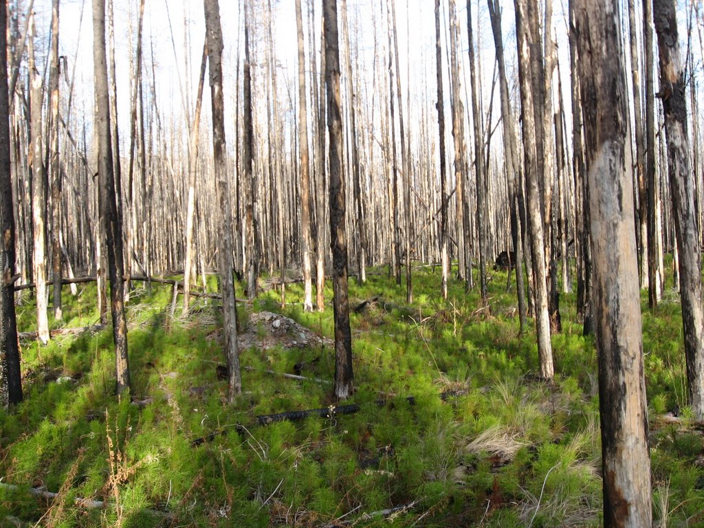
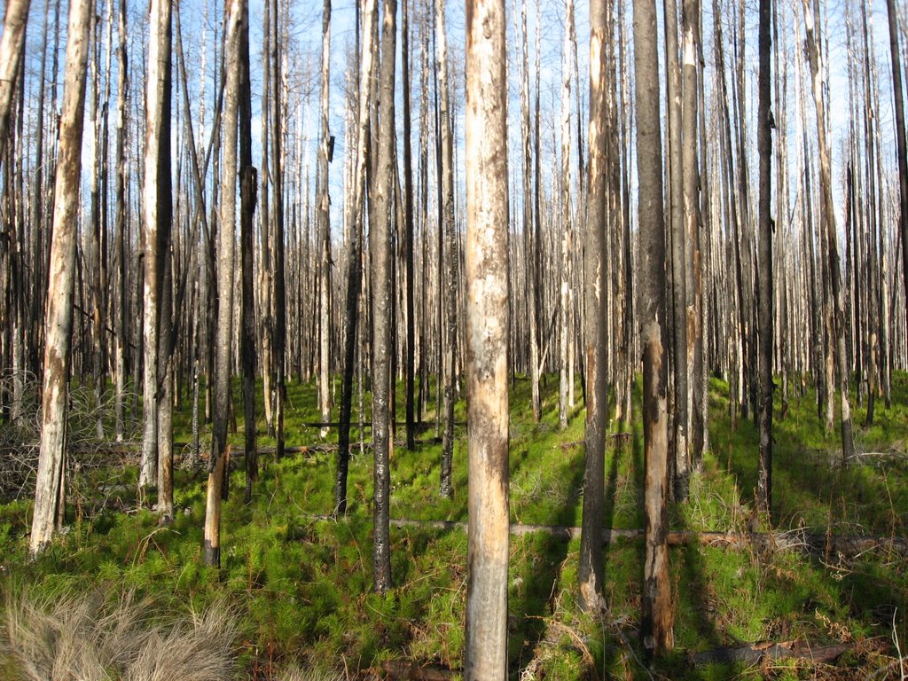
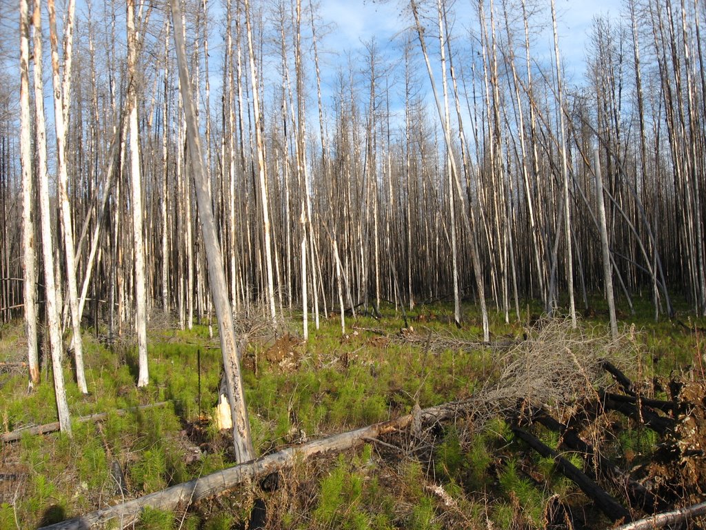
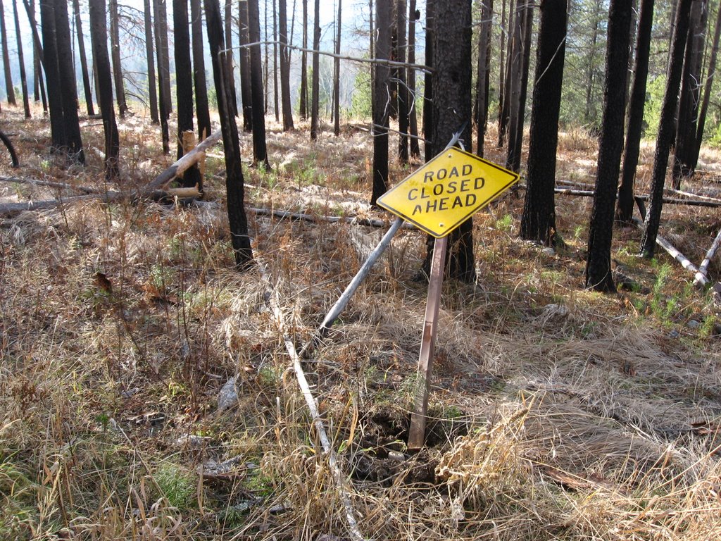
Skiing along the Going-to-the-Sun Road.

The next photo is the first of several side trips off the Sun Road. From this shortcut we reached the bridge where the earlier views of Lake MacDonald could be seen.


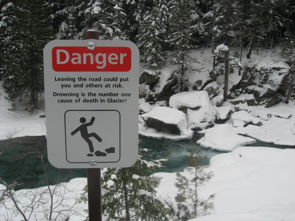
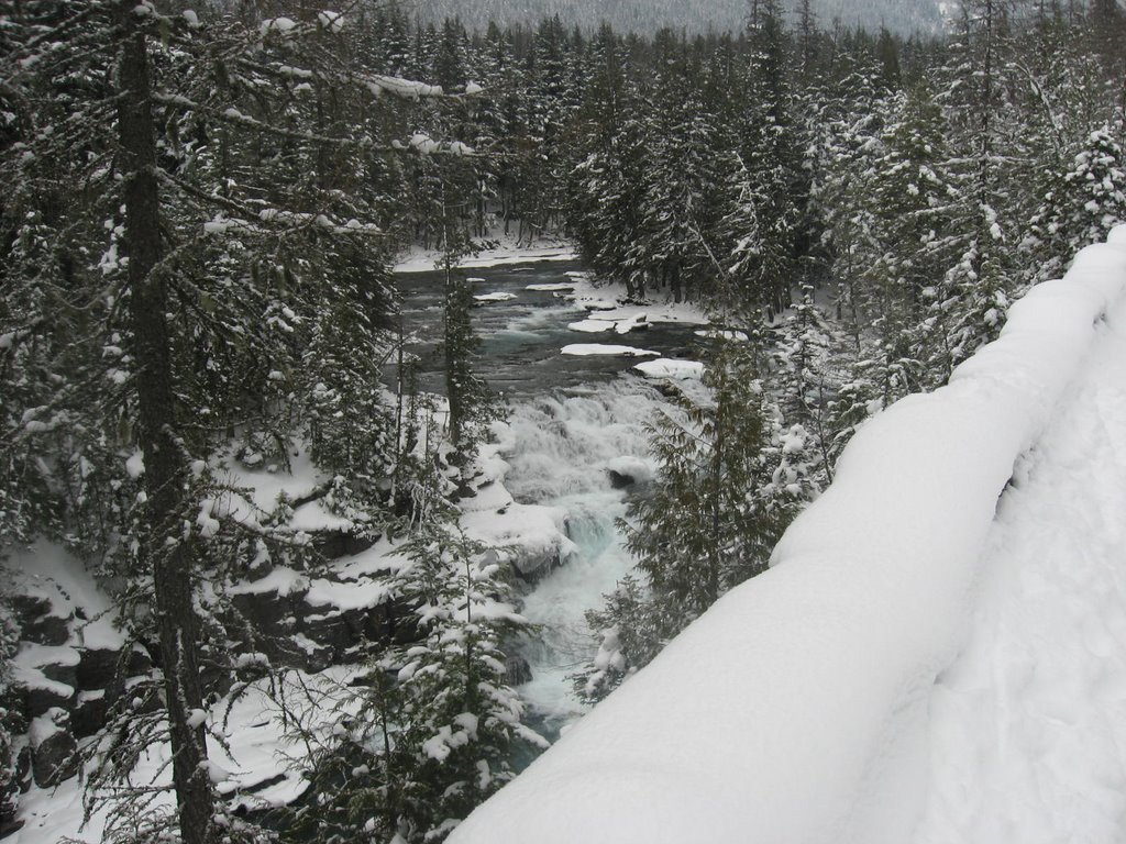
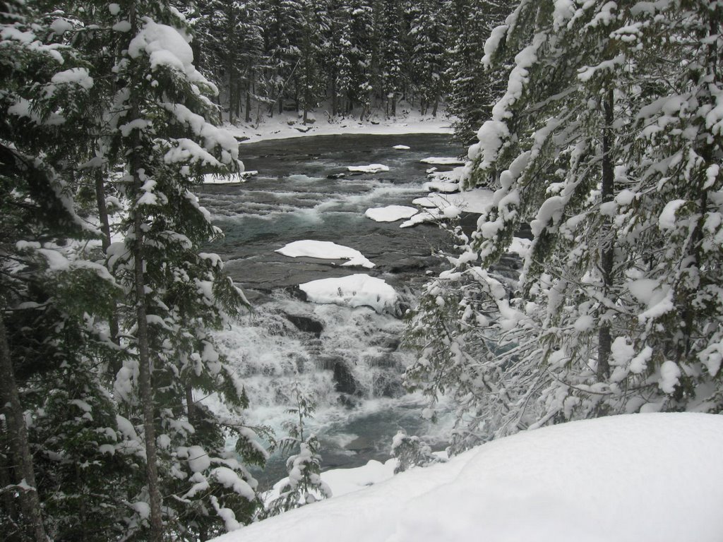
Here are views of MacDonald Creek which parallels the Sun Road. Notice the water level is back to normal after the flooding last month.


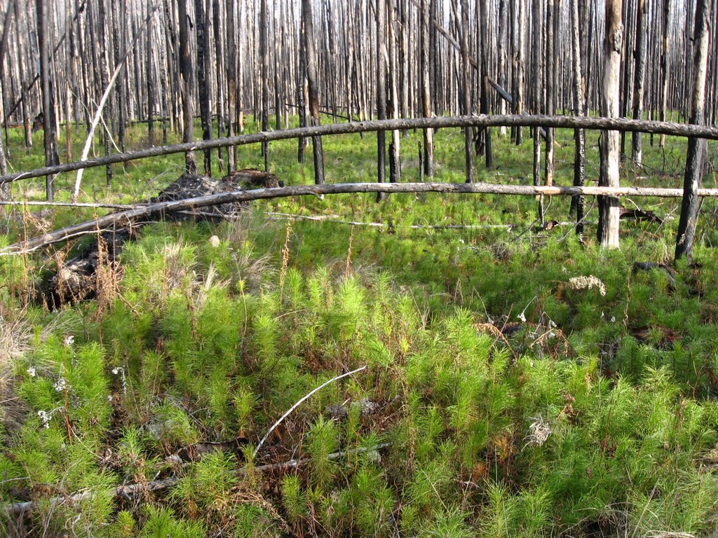
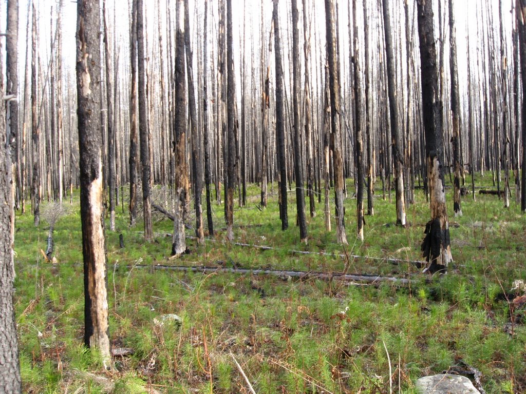
The last photo is of a swampy area next to the road. Moose habitat.

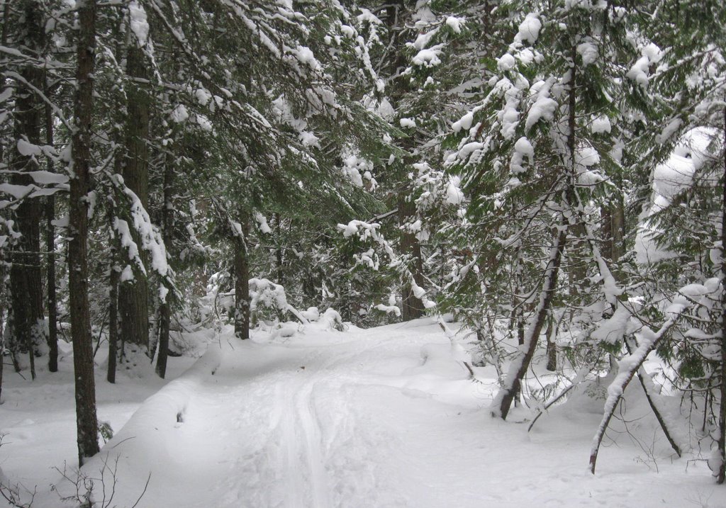
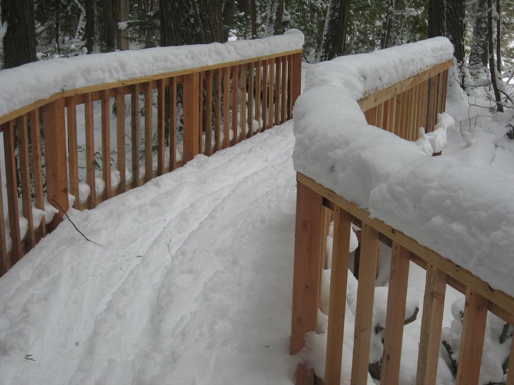
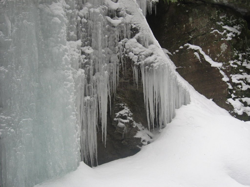
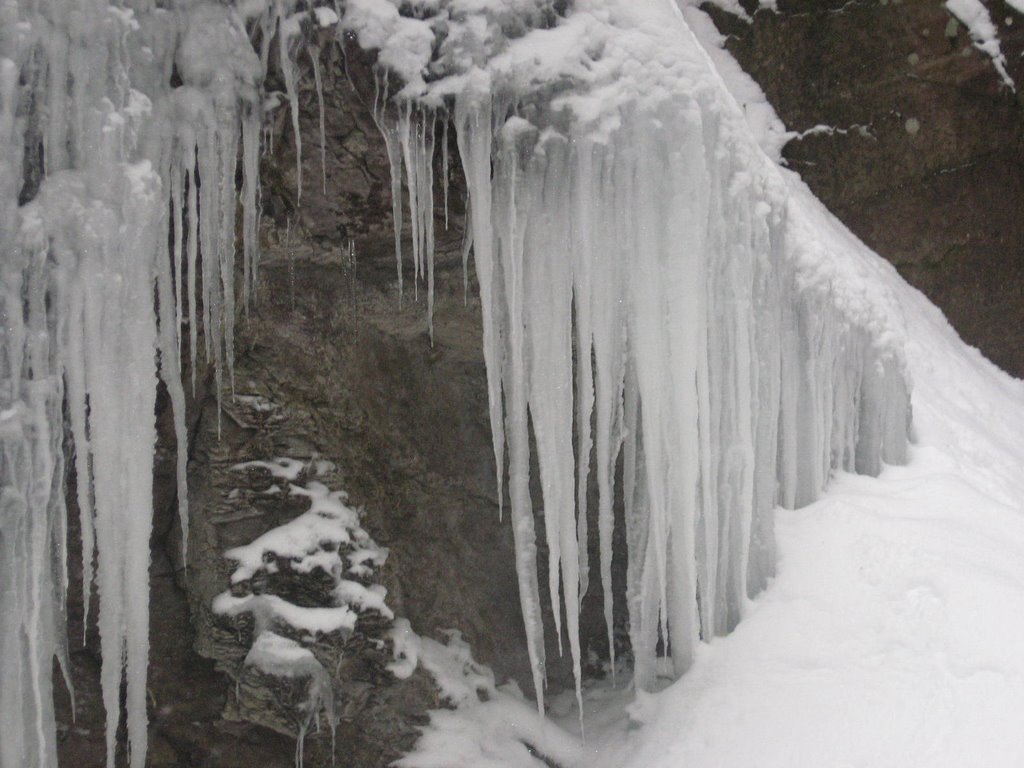
The following are photos from skiing the Trail of Cedars boardwalk.
What... about a foot of powdery snow you think?

The following photos are of one of several mossy green rocky areas... in the summer. Winter doesn't mean the end of water seeping out of the rock.

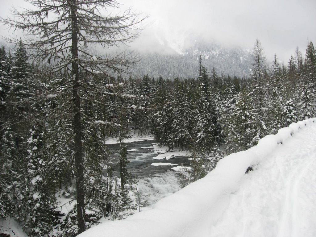
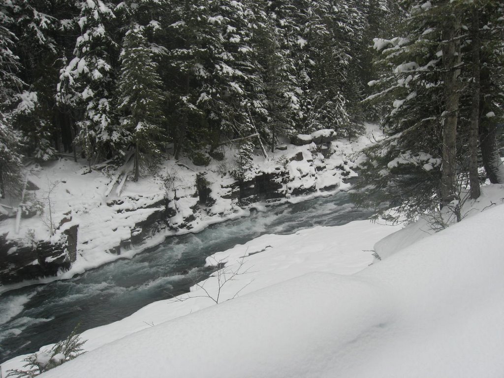
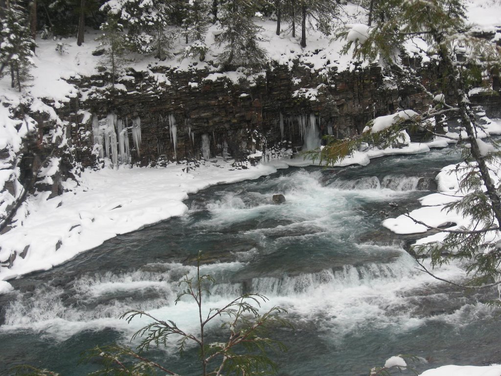
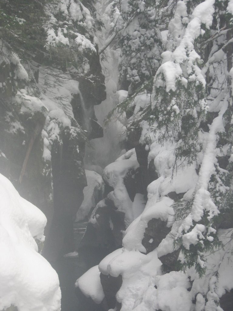
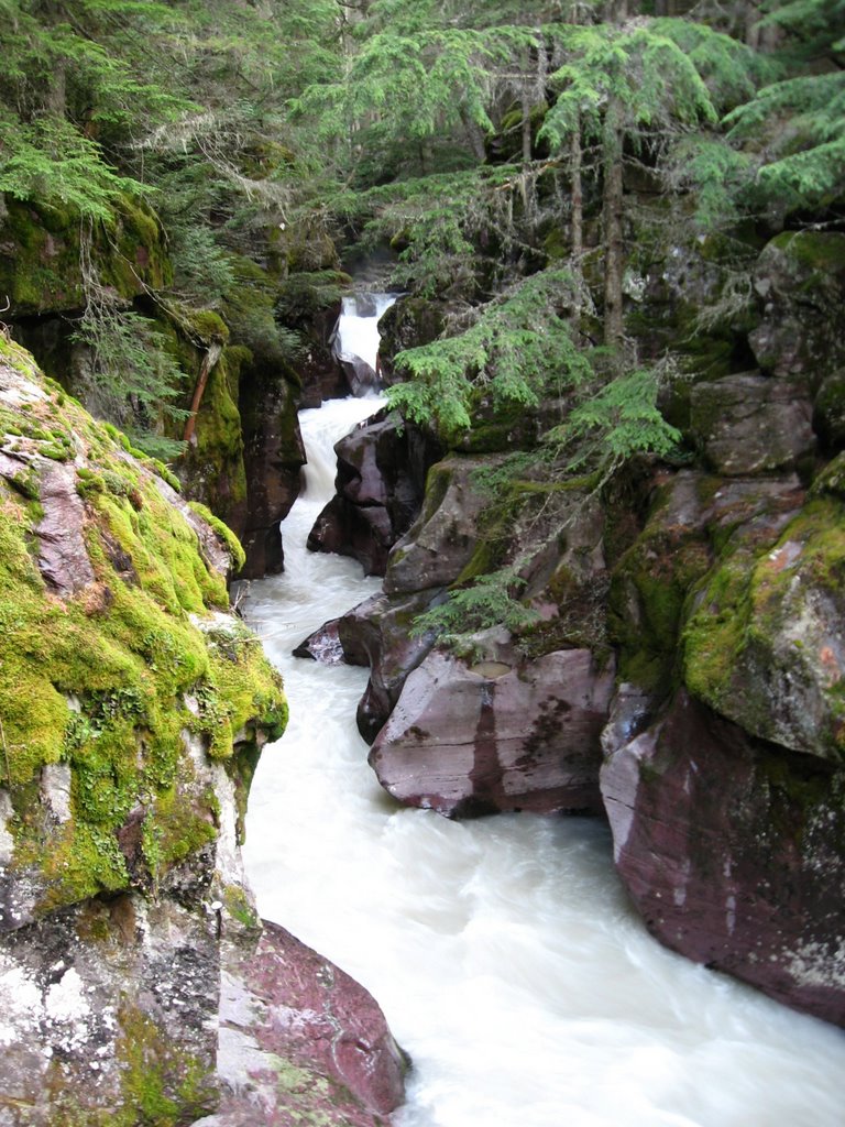
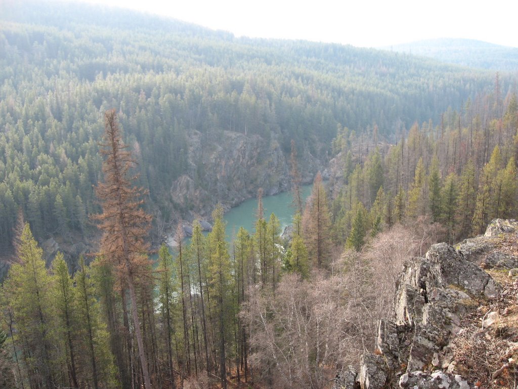
The second photo is of the Avalanche gorge. Compare this photo to the later photo taken one month ago before the snow fell. Sure looks different!

The "green' photo was taken November 10. I included it to show you how Avalanche Creek looks like without the snow. The first (snowy) photo is partially obscured as snow was falling from the trees as I took the photo. You can see snow falling into the gorge. The snow was falling so frequently it wasn't hard to get a photo of it falling.
The smallest of branches held lots of snow. I had to duck a number of times so as not brush the branches and get snow down my neck.


