
 Group: Me, Bill, Arnie, and Sue Ann
Mileage: 10.2 miles roundtrip
Time: I forgot, but it was many hours
Flattop Mtn elevation: 6,872 ft.
The last Friday in October in Glacier Park our hiking group hiked from Packer's Roost to the Flattop Mountain back country campground (the first campground in the map on the right).
Part of the reason this hike was chosen was that the Sun road was closed beyond the Loop since snow now covered Logan Pass and the higher trails. Earlier in the week the group - without me - had hiked up the Sun Road to Logan Pass. On the road they had met a young couple with kids from Minnesota. The MN family naively planned on hiking the Highline Trail to the Granite Park chalet once they reached Logan Pass.
I used to live in Minnesota so I know first hand that Minnesota people don't understand mountains and winter. Minnesota people think they understand winter and snow. This past April a mother and son visiting from Minnesota froze to death when they tried to drive a back road through some mountains in SW Montana and their SUV got stuck in the snow that covered the road. Their bodies were found higher - not lower - on the mountain above their stuck SUV. In April winter is a distant memory in Minnesota. Not so in the Montana mountains.
My hiking group said they tried to talk the MN family out of hiking to Granite Park chalet. They don't know if they succeeded or not. My group just shook their heads when they told me. I told them I only lived in Minnesota for a few years, so don't put me in the same category.
Another reason for today's hike is that Joyce and others in the group really want to hike next year between Goat Haunt on Waterton Lake and a place in Glacier Park.
Bowman Lake has been mentioned as the Glacier starting point, but this hike is 22 miles from the foot of Bowman Lake. Joyce and others are trying to find someone with a boat that could take us on Bowman Lake to the head of the lake and save us a 7 mile hike along the lake. No luck so far.
Someone in the group spoke with someone else who thought we could hike from Packer's Roost to Goat Haunt. Today's hike was to check out the Packer's Roost end of the hike.
Packer's Roost is a .6 mile side road from the Sun road just below the Loop. The Park uses Packer's Roost to load and unload the horse and mule supply train for the Granite Park Chalet. This side road is a one lane, barely gravel, road.
The first time I had ever been on this road was this past June when Brian visited me. At the end of a day of sightseeing I convinced Brian to drive down this road to check it out. The sun was setting and dusk had fallen. Brian was worried his car would drop into a pothole and cause damage to the underside of his car. The .6 mile seemed far longer. At the end, was a lone building and a hitching rail.
Immediately two park rangers in a pickup appeared behind us. I jumped out of Brian's car to ask the rangers about the reason for Packer's Roost existence. As they swatted mosquitoes coming in through their open window they told me about the horse and mule pack train.
Brian and I didn't hike the trail as it was getting dark.
Today's hike was under overcast skies. A mile into the hike a trail split off to the Granite Park chalet. After that we didn't see any more horse sh... poop on the trail.

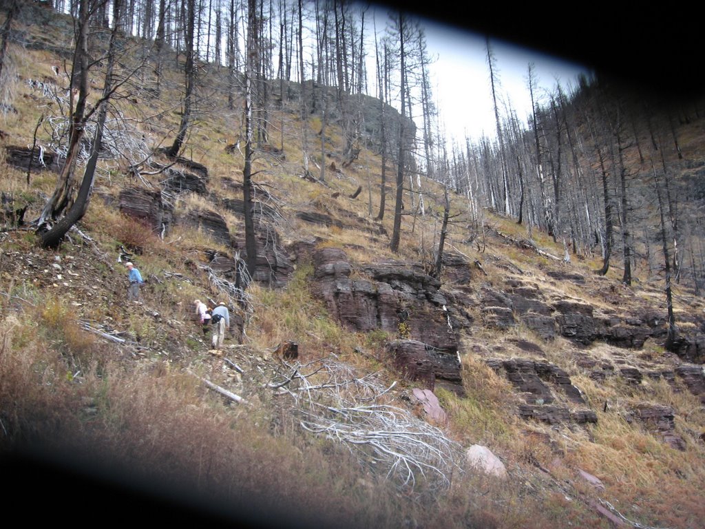
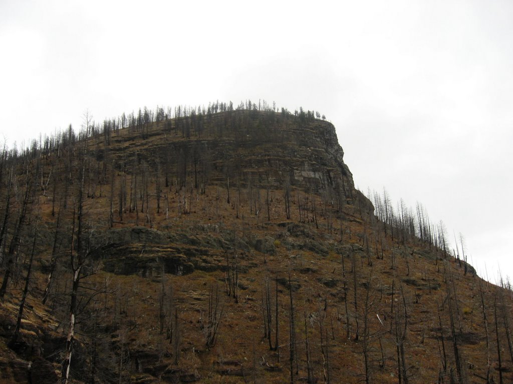
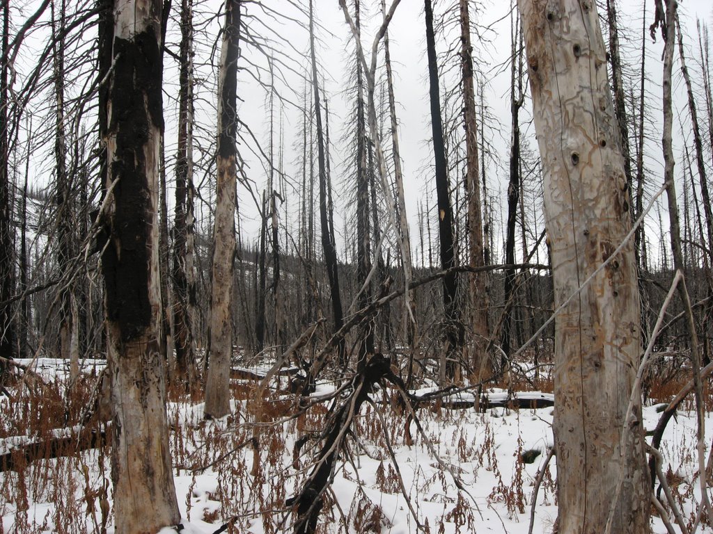
It wasn't long before we encountered the burn area from the Robert fire in 2003. Most all the trees were burnt. Through the burned trees we could see that we were hiking in a large valley with mountains on our left and right. Heaven's Peak rose up into the clouds. We hiked a number of miles through burned trees.


The wind picked up and we could hear it move through the burned tree tops. It was a pleasant surprise not to feel the wind. Another surprise was there was no wind once we climbed higher on the north end of the valley. The wind hadn't stopped as when we hiked out and came to this same area we again heard the wind.
On the hike out the wind made a very eerie sound. The wind had the sound of wild animals, or ghosts, and we looked around as we hiked out never seeing anything other than dead trees and the mountains around us under low, overcast, gray, dreary skies. It was very creepy for a mile or so.
Almost half way into the hike we came to Mineral Creek. The park had rolled up the suspension bridge that crossed the river. We looked for a spot to cross the creek near the bridge with no luck. We went downstream a little ways. I thought that if I tossed in some rocks maybe we could hop across them to cross the river. But the effort was slow going and we decided try upstream. I found a narrow enough spot that we could hop over. Bill and Sue Ann were hesitant but jumped from the one rock to the other rock over the one narrow section.
It seems as if almost every hike I do with this group we do some sort of bushwhacking. I am glad they don't quit when we face some obstacle.

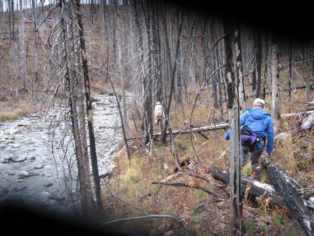
We hiked on the exposed stream bed rocks back to the bridge and trail. It was late morning now and the rocks still had a slippery feel to them. No one fell as we were careful.
MacDonald Creek was to our left. We could hear it and not see it. After we crossed Mineral Creek the trail started to move further from MacDonald Creek as that valley continued in a curve to the NW while we were now climbing to the north.
The trail up to the creek was generally level but now we started to climb. The trail got steeper and began to switchback. We couldn't tell where we going up the mountain.
On one of the switchbacks we saw some mountain goats high on a steep ridge to our right, as seen in the following two photos.

At one point we looked back and saw that we were near the same level as Logan Pass. Logan Pass is 6,646 ft. Flattop Mountain is 6,872 ft. We never climbed to the highest part of Flattop Mountain. We had been climbing a lot as we started a few hundred feet below the Loop on the Sun Road.
In the following photo, left of center is Logan Pass. See the green area below Logan Pass? The green area is the non-burnt trees. The rest are the burned trees from the 2003 fires. The green area is where we started our hike at Packer's Roost. Logan Pass and Packer's Roost are miles and miles apart, so that should give you an idea how far we have hiked now. Over 4 miles.
 As we climbed higher we started to see more and more snow and the waterfalls had ice in them.
When the trail became fairly snow covered Bill called it quits and said he would rest then start back down. Even though the top seemed to be just ahead for some time now, I was sure we were close and wanted to press on. Arnie and Sue Ann joined me.
 It wasn't much further after Bill turned around that the trail flattened out and the steep climbing ended.
Flattop Mountain has its name for a reason. There is no peak where one can see out over the other mountains and valleys. The trail was in a high, large, relatively flat area.
To our left and right one could see through the burned trees where the mountain still went higher.

I was determined to reach the campground. It was over a half mile to the campground, which then was a short ways off the trail.
The campground consisted of three campsites. The trees were all burned, and with the snow on the ground, we only went to the center of the campground and didn't check out each campsite.
 Attached to a pole was a plastic watering jug. I guess the park would like campers to bring back water back for the vegetation when they went to the stream to get water for themselves.
The main trail continued northward with no sign of soon joining the Fifty Mountain trail going to Goat Haunt. Later looking at a map I discovered the Fifty Mountain trail was some distance away. The people Joyce knew who had mentioned this trail said the trail would be level for the most part until we dropped into the valley where Goat Haunt is located.
The group was all in agreement that we didn't care for this trail. Too many burned trees and the climb up Flattop Mountain was long with the scenery so-so. This trail to Goat Haunt is 23.7 miles; further than the estimated 22 miles from Bowman Lake. We are back to using Bowman Lake for our hike to Goat Haunt next year.
We didn't stay long at the campground.


We caught up to Bill at Mineral Creek. He had already crossed it and was waiting for us. After crossing the creek we found a large log and all sat and ate our lunch before hiking back to Bill's car.
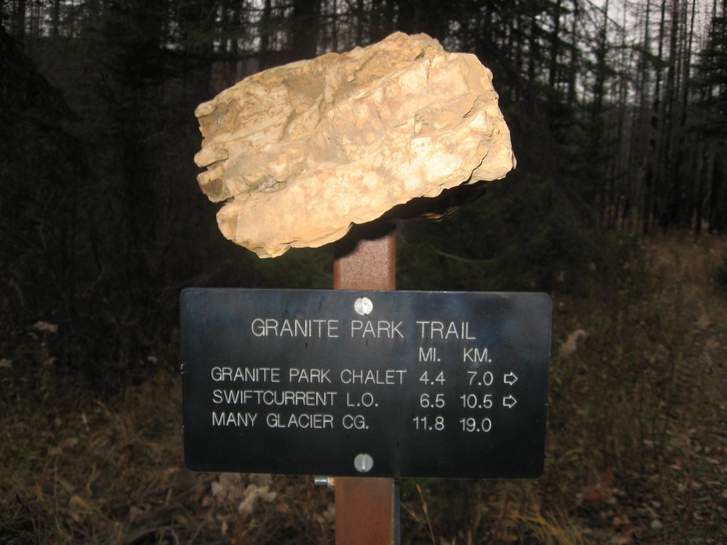
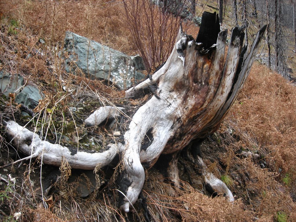
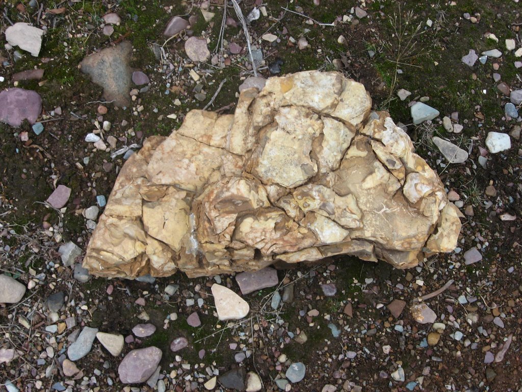
During our journey back we came across a large partially burned tree stump and an interesting yellow rock.
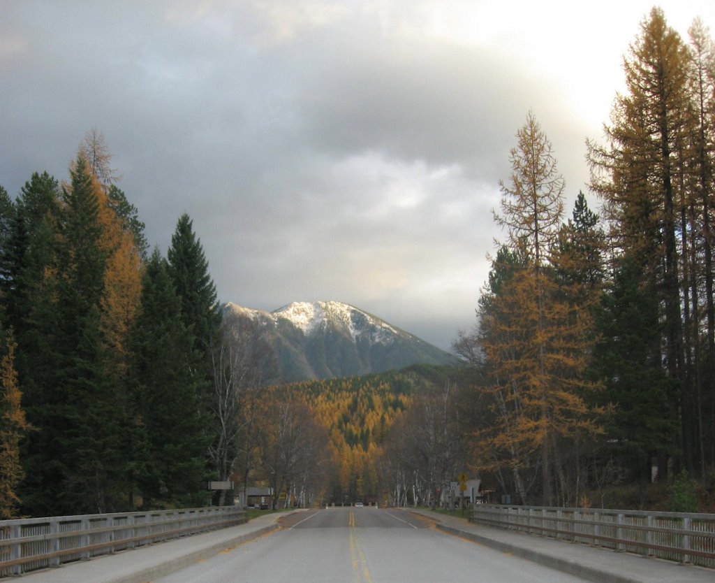
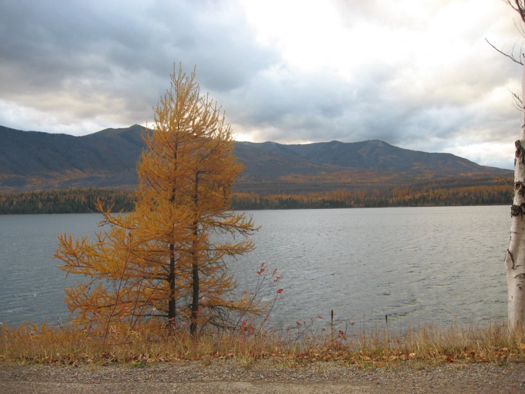 During the drive back along Lake MacDonald I had Bill stop his car so I could take a few photos of the lake and the tamarack trees across the lake. The tamaracks were in full color.
I also got a photo of the Middle Fork of the Flathead River and the tamaracks, and a photo of West Glacier's main street and more tamarack color.
The first photo shows where my hiking group had hiked along the Middle Fork earlier in the week. Another hike I had missed when replacing my hot water heater.


No comments:
Post a Comment