
 Date: November 17, 2006
Group: Bill, Arnie, Joyce, Sue Ann, and me
Total length: 12 miles or more
Elevation gain: minimal
Time: 10:25 am to 3:30 pm or so
Temperature: mid 20s F, warming to the mid 30s
Destination: Old ranger station, then the end of the trail
Where we ended up: who knows?! Certainly not at the ranger station
We started our hike near where the raft is shown on the following map. We hiked along the Middle Fork of the river to where it "T's" with the North Fork of the river. Then we went north.
 The above "map" is certainly not to scale so I included the Park's map below.
The 'end of the trail' (we now realize) is at the "T" intersection of the rivers as shown on the map. When hiking we didn't realize this, and after seeing the side trail to the north, we followed it for at least 1.2 miles, and probably more. As the elevation was for the most part level, the 4.8 miles to the "T" did not seem like 4.8 miles to us and we felt the trail went further until its end. Besides we hadn't seen the old ranger station and felt it was down the side trail.
We walked and walked and walked. Where were we going? Still no ranger station and by now we were sure we had hiked over three miles. Joyce and Bill consulted their watches and suggested we turn back. They wanted to make sure we got back to the car before dark.
I convinced the group to go down the trail a little further as it was curving NE, a direction favorable to us. A short distance later, when the trail turned NW, I too agreed it was time to turn back.
It is difficult to tell on the map how far north we hiked. I think the final "NW" bend may have been near where the road (west of the Park) goes from paved (solid black) to gravel (white). I doubt the NW bend in our trail was near where the red "13 mi" is located.
We started our hike where the trail splits to go up to the Apgar Mountain lookout. If the distance from there to the end of the trail on the map is 4.8 miles, then we may have hiked another 4 miles before we turned around. It didn't feel like we had hiked near 18 miles, but on level ground it could have been more than the 12 miles we all estimated.
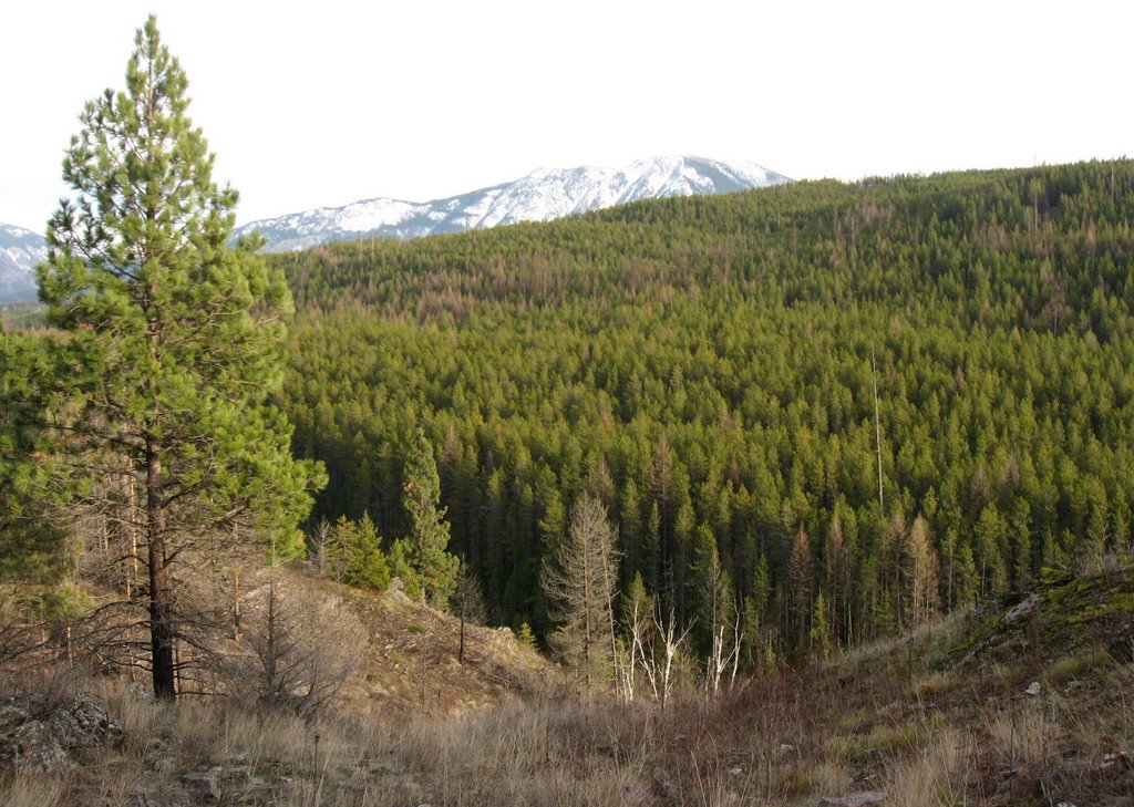
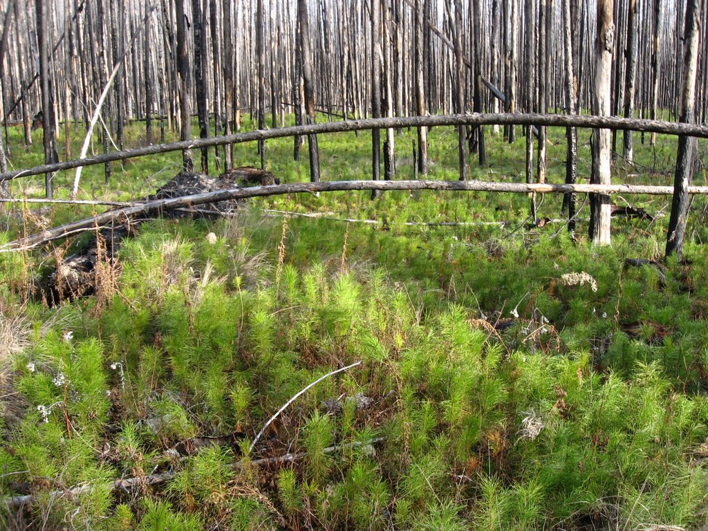
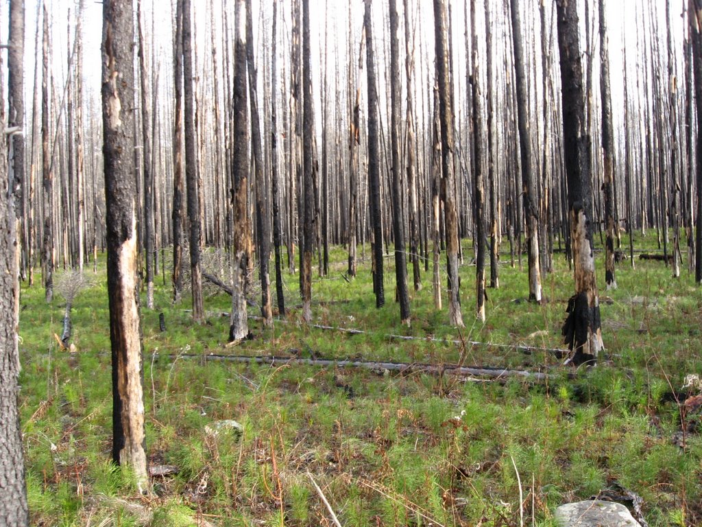
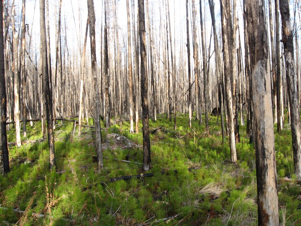
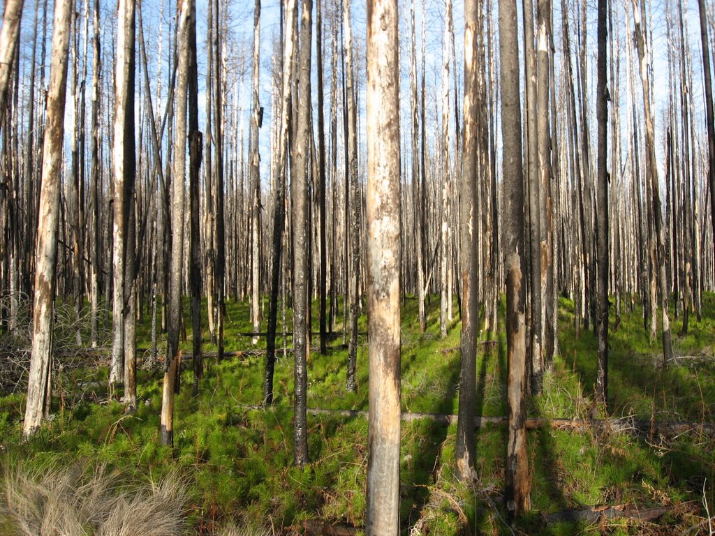
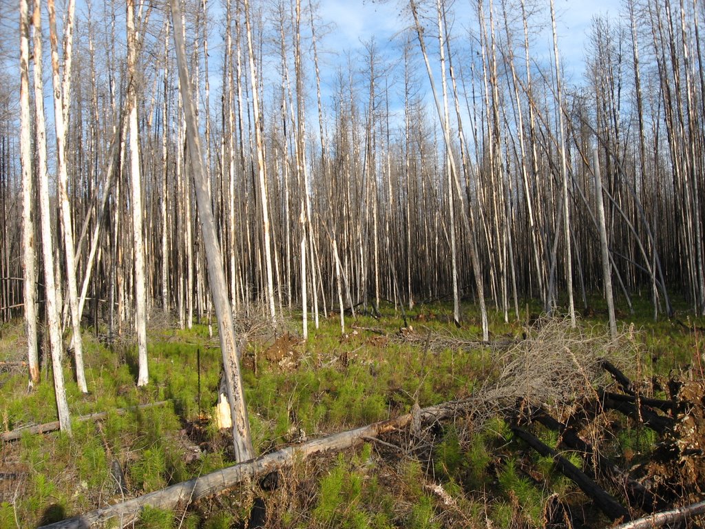
It was a chilly morning when we started our hike. The tip of my nose felt cold for the first minutes until I warmed up from the hiking. It wasn't long before we entered a burn area from the 2003 Robert fire.
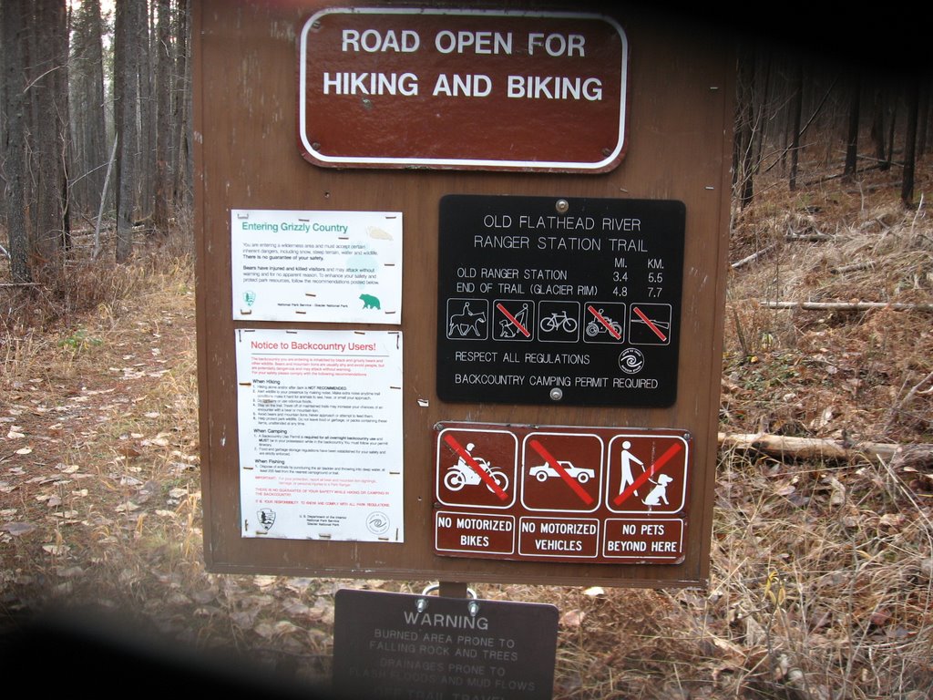
Near the start of our hike we crossed a stream. This stream signified the end of a possible drive by car. (The trail was barred at the beginning). The bridge over the stream was a small foot bridge off to the side of the main trail. The old vehicle bridge was long gone.

The following photos are about the same view. The one on the right was taken near the beginning of our hike in the morning when it was cloudier. The photo on the right was taken late afternoon when we returned and it was partly sunny.

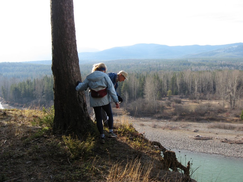
Near where I took the preceding photos, I took the following two photos of the Middle Fork of the Flathead River. This river is the Park's southern boundary.
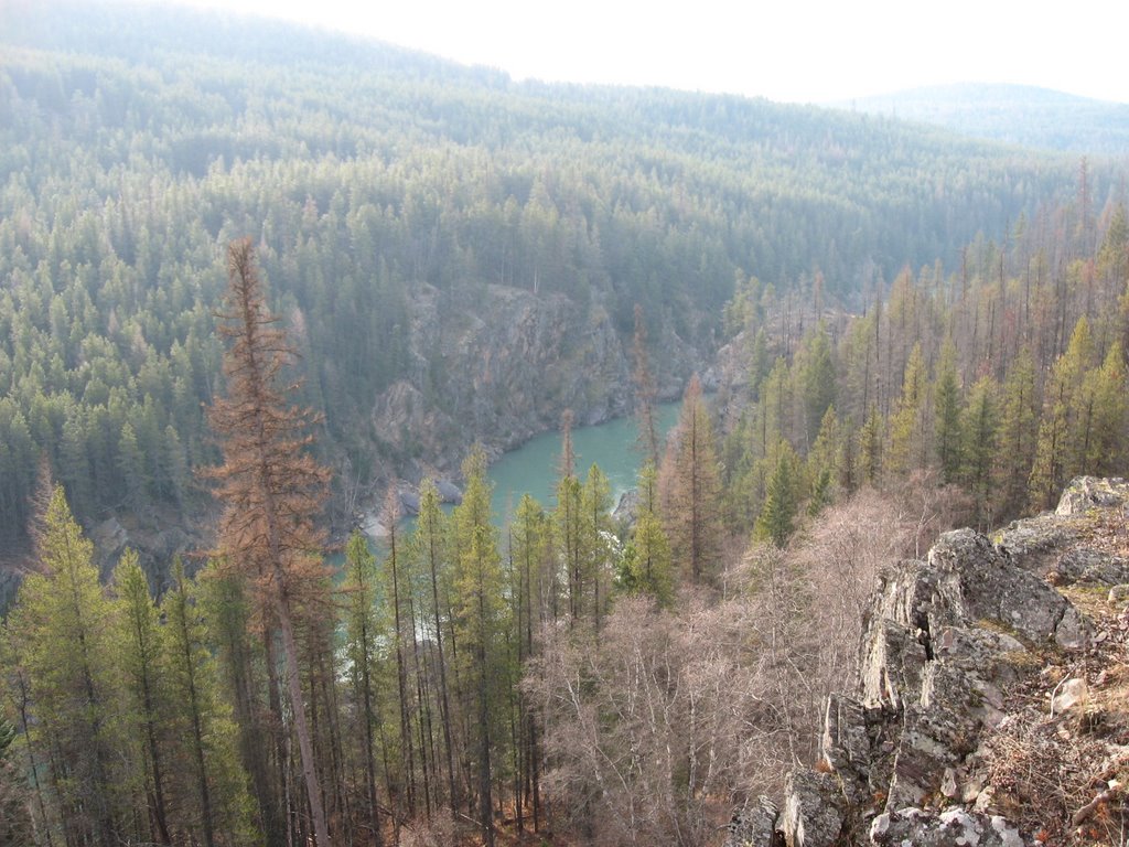
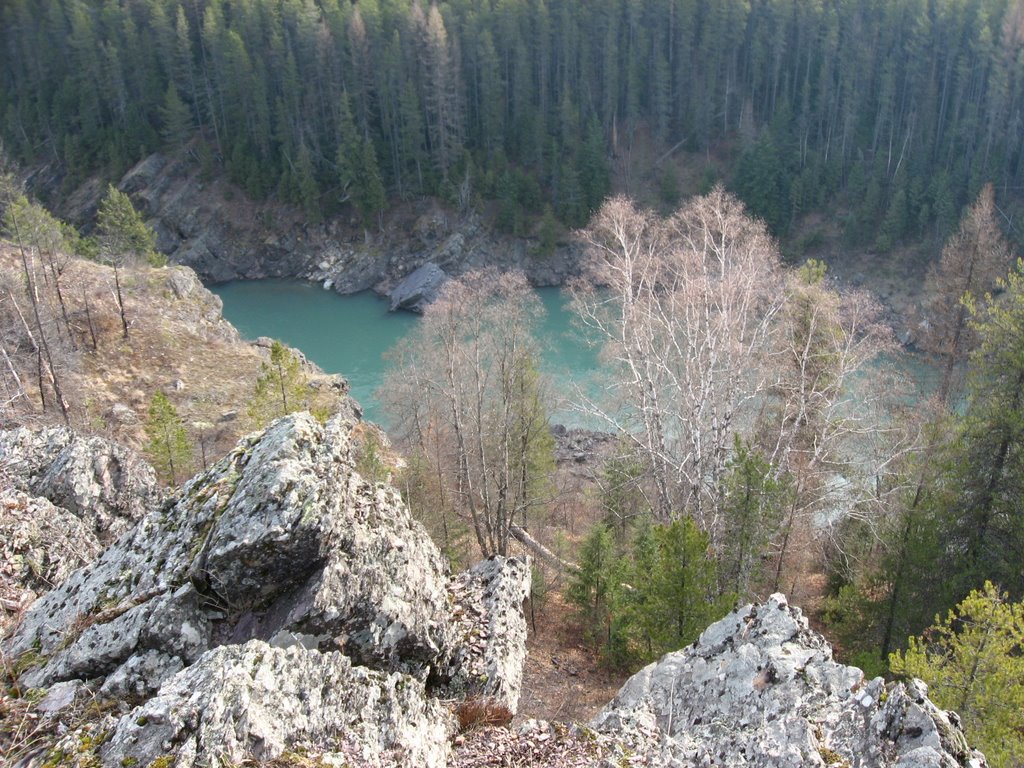
The following photos were taken near where the Middle Fork and the North Fork of the Flathead River join. The photo on the left is the North Fork as it comes from the NW. The mountains in the background are the Whitefish Range and not in Glacier Park.
In the photo on the right, see the yellow rock a short way down from the top? The hiking group knows I sometimes like to collect a souvenir rock from each hike and Bill and Arnie suggested that rock. That rock is neater than what the photo shows. It was tempting. I looked and looked at possible ways to reach the rock, if just for the idea that I could reach it. Bill, Arnie, and Sue Ann said they would hold my ankles if I wanted to go over the side. To humor them I entertained the thought and kneeled by the edge. Joyce had a fit and wouldn't watch. I never made a serious attempt to reach the rock. Later Joyce and Sue Ann shook their heads at Bill, Arnie, and I and said "Boys!"


Photo 1: Looking over the edge.
Photo 2: Another view of the North Fork river. In the Whitefish Range in the middle of the photo you can see smoke from a fire.

Here are a number of fire and rebirth photos. You can see how all the small lodgepole pine trees are sprouting up like grass after the 2003 fire.

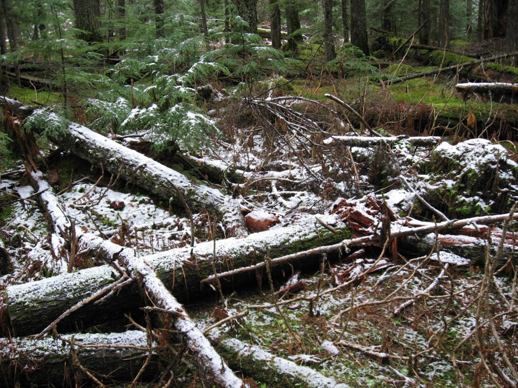
We had lots and lots of deadfall to hike over or around.


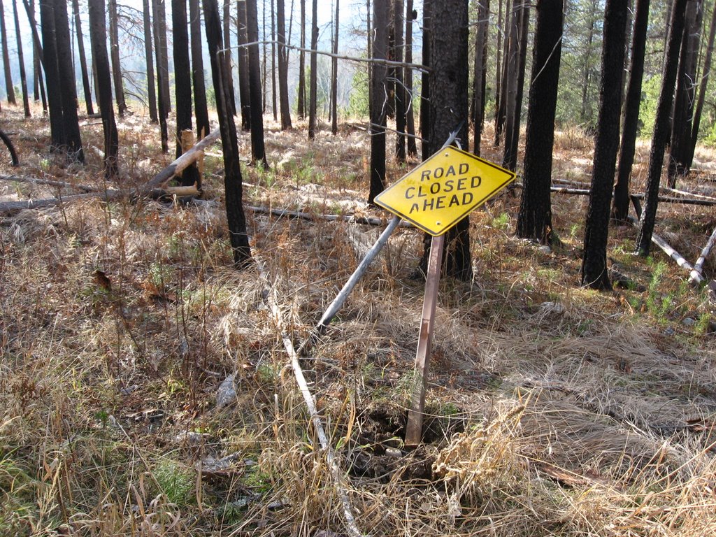
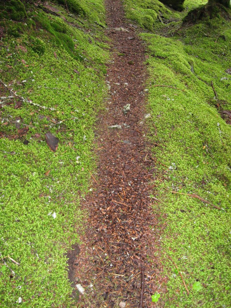
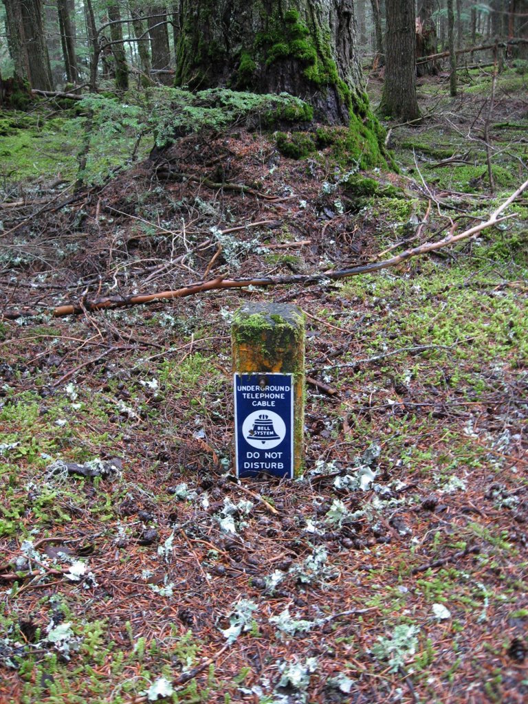
Many years ago the trail used to be an old road. Still, it was odd to see the road closed sign here in the middle of nowhere. A little further were two metal posts on each side of the "road". The cable that formerly ran between the posts to block vehicles was no longer there.
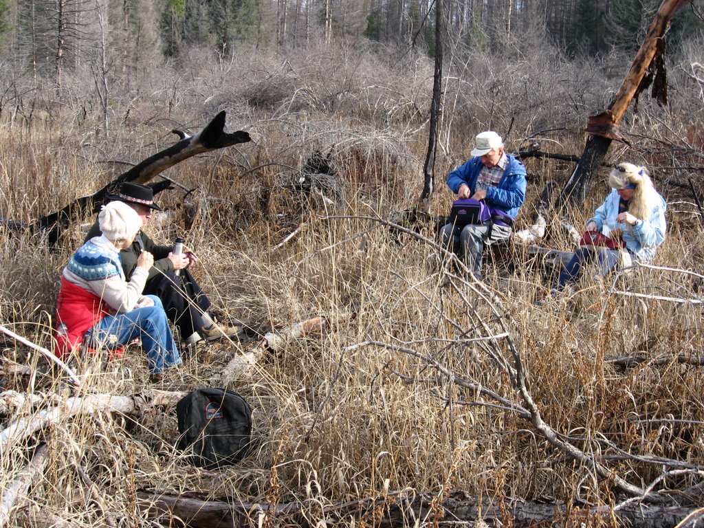
Lunch is wherever there is a place to sit. This was an open area after we crossed around the swamp and before we found the road/trail again.
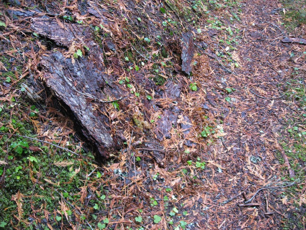
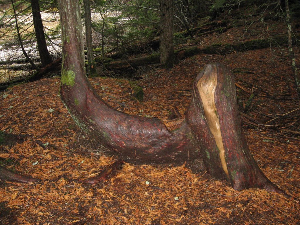
An oddity... the bark is all that remained of this tree.
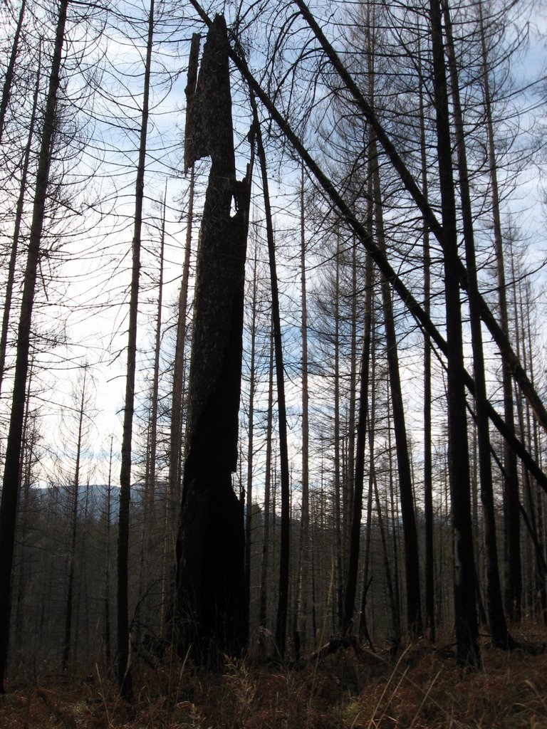
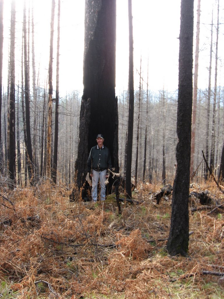
Front and back of a remaining part of a tree. It is connected to the ground by only a small section in the middle.


Even though it was late afternoon, water was still frozen.

The trail/road went into water. I don't know if it is because of recent wet weather, or if a swamp reclaimed part of the road. As the group is adventurous they (or most) readily agreed when I suggested we try to find a way around the water. We had a bit of hiking to do so, but the way through the forest had no deadfall, unlike the road/trail. So the way through the trees was easier in some aspects than taking the road/trail.
The following photo is when we came back and had to bushwhack around water again. This time we tried to find a way around the east side of the swamp thinking it would be shorter.

Arnie and Joyce found a fallen log and balanced across it. Sue Ann, Bill and I decided to keep following along the water as we felt that on the other side of the Arnie's and Joyce's log would be more swamp.
We eventually found the end of the swamp and headed around it to find Arnie and Joyce. After some calling back and forth we located them on the road/trail. They said there was no more swamp after they crossed the log.
The hike back.


We never did find the old ranger station.

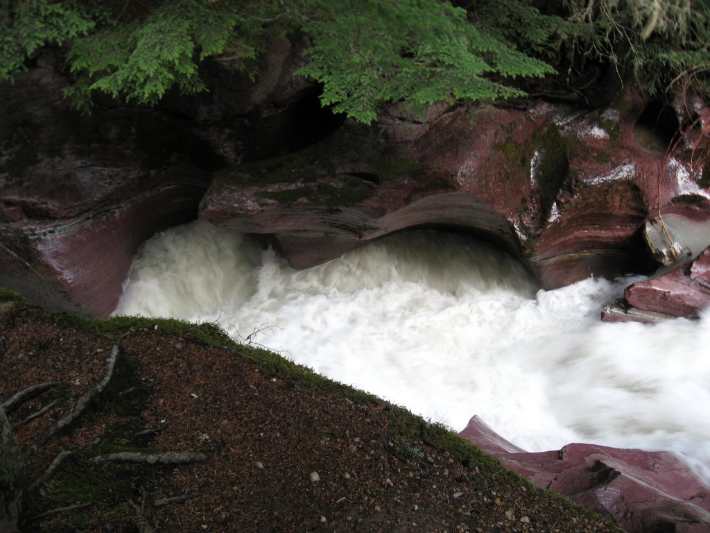
 The walk along Avalanche creek was cold! I hadn't been wearing my gloves this morning and now my hands were getting cold. The others were cold also.
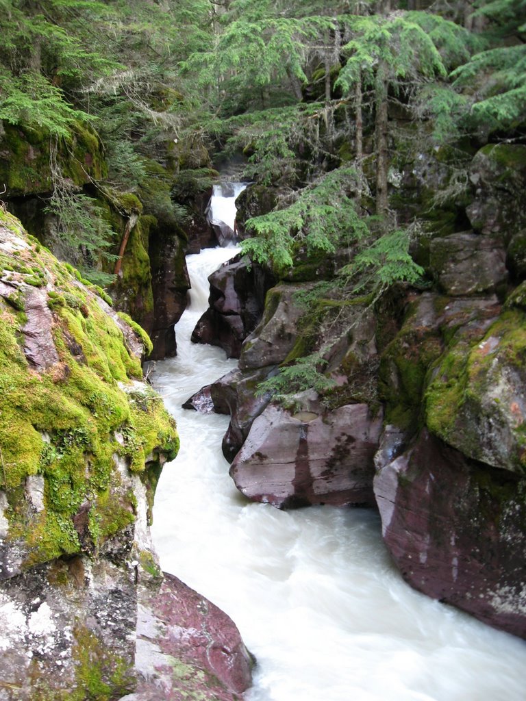


